To serve you better, our new website displays information specific to your location.
Please visit the site and bookmark it for future use.
How an integrated approach to geological mapping provided new insights to the Klondike Gold District
Author(s):
Matthew Grimshaw
Date:
Thursday, June 13, 2019
First presented:
SRK Exploration Project Case Study
Type:
Article
Category:
Geology
CAD/GIS
Geological mapping is a key part of any mineral exploration project and provides vital insights into the lithological and structural controls of mineralisation. Mapping during early-stage exploration is a particularly cost-effective tool to facilitate the generation of targets and to assess prospectivity of an area. The concepts of lithological and structural mapping have not changed over the years. However, the technologies and data available to geologists is constantly improving. SRK Exploration Services (SRK ES) is integrating traditional mapping techniques with modern digital data capture, machine learning and 3D modelling.
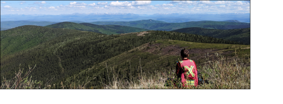
SRK ES applied this integrated approach to a two-month mapping project in the Klondike Gold District of Canada. Bedrock mineral exploration within the region had traditionally focussed on orogenic gold-bearing quartz veins, which were interpreted to be the source for the world-class placer gold deposits made famous in the Klondike Gold Rush. However, the recent discovery of gold within a unit of felsic schist, by Klondike Gold Corporation, led to a new model for mineralisation that included an understanding of host rock rheology and composition. Klondike Gold Corporation commissioned SRK ES to conduct a mapping project to provide a refined structural framework and subdivide the complex schist units that were previously classified as ‘undifferentiated’.
The increasing capability of portable mapping devices has led to paperless mapping and workflows that allow capture, integration and interpretation of data in the field. SRK ES used ESRI’s ArcGIS mapping and analytic software to share base maps, collect data, and generate map interpretations. The workflow involved ArcOnlineTM and CollectorTM to collect data which was then inspected by teams based on site and in the head office.
The integrated approach to lithological and structural mapping worked efficiently and effectively for the Klondike Gold District. Additional technologies are being actively developed at SRK ES to improve the efficiency of planning and completing field mapping.
The fundamental skills involved in lithological and structural mapping remain broadly the same, but technological advancements and improvements to data quality makes the process much more effective and efficient.