To serve you better, our new website displays information specific to your location.
Please visit the site and bookmark it for future use.
You are here
SRK Kazakhstan ›Rapid exploration in remote terrains
SRK News | Issue 57: Exploration Geology: Keys to success
Jessica Charles, Consultant Geochemist
Oliver Bayley, Exploration Geologist
Exploration, particularly field access, is challenging in many remote environments due to lack of infrastructure. A major challenge for exploration is decision making in the field, particularly in identifying field anomalies. Recognising the need for reliable analytical field methods with quick turnaround times, SRK has utilised various field portable instruments in exploration programmes. These instruments vary from portable x-ray fluorescence (XRF) for element analysis, where elements have a mass number higher than sodium, to laser induced breakdown spectrometry (for lithium, boron, beryllium, gold and REE analysis), Terraspec FTIR spectrometry (for mineralogy), Gamma Spectrometry and Radiation Scintillometers.
In addition, SRK has invested in magnetic, resistivity and ground penetrating radar (GPR) geophysical methods to provide a reliable integrated approach to the collection of geophysical and geological observation data in the field.
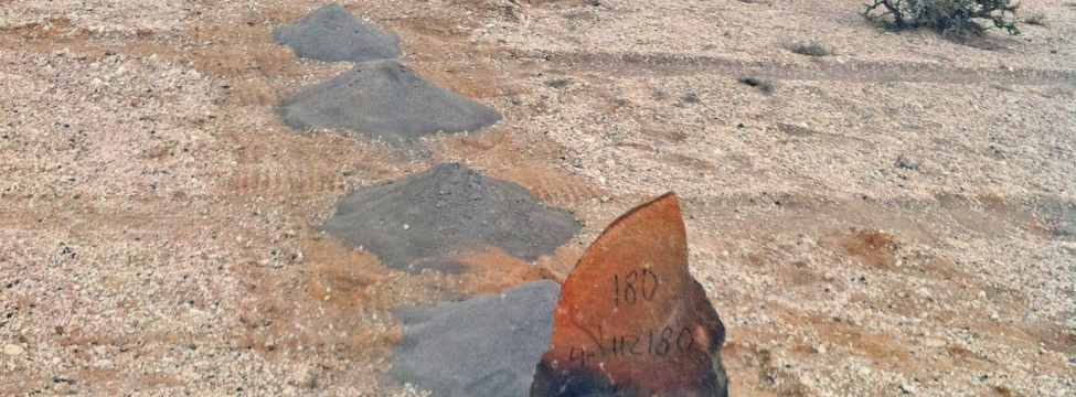
A reconnaissance level exploration programme in a remote part of Namibia was recently completed by SRK to determine the geological extent and controls on uranium mineralisation, and their potential economic viability. Historic data, combined with geophysical data, were used to identify potential areas of interest for confirmation. In addition, several lower grade anomalies were also discovered by geochemical and radiometric analysis in the field.
Bedrock geology in the area includes high thorium granites with highly variable but generally low concentrations of uranium. Detailed investigation of the identified uranium anomalies found that mineralisation was confined to the regolith, with higher grade uranium (VI) mineralisation within ferric oxide-rich aeolian sand and black weathered biotite schist horizons, indicating the mineralisation was likely of secondary origin. In addition to initial anomalies, several more were identified by using XRF and Radiation Scintillometers and a drilling program was designed from the field data.
The use of portable analytical equipment contributed to a rapid and economical geochemical mapping programme in an extremely remote area where access was difficult and infrastructure undeveloped. The equipment greatly improved the efficiency of the reconnaissance programme, allowing for quick-decision making and providing near-real time sampling guidance in the field by removing the long delays associated with laboratory analysis.
Jessica Charles: jcharles@srk.co.uk
Oliver Bayley: obayley@srkexploration.com